
January 2020
You can read about Day 1 and Day 2 using these links.
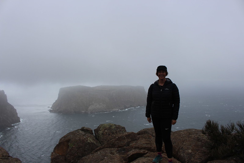
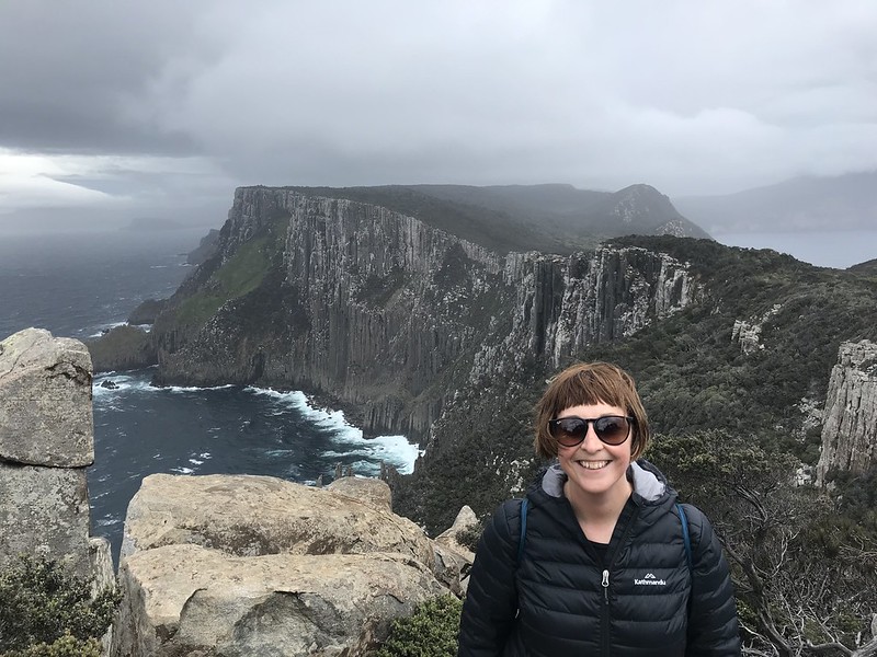
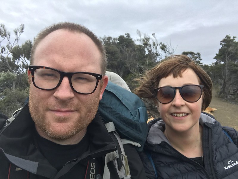
This was it. The big day had arrived. We would cover roughly 40% of the entire track today as we descended down the peninsula to explore Cape Pillar (Cape #2), The Blade and Cathedral Rock.
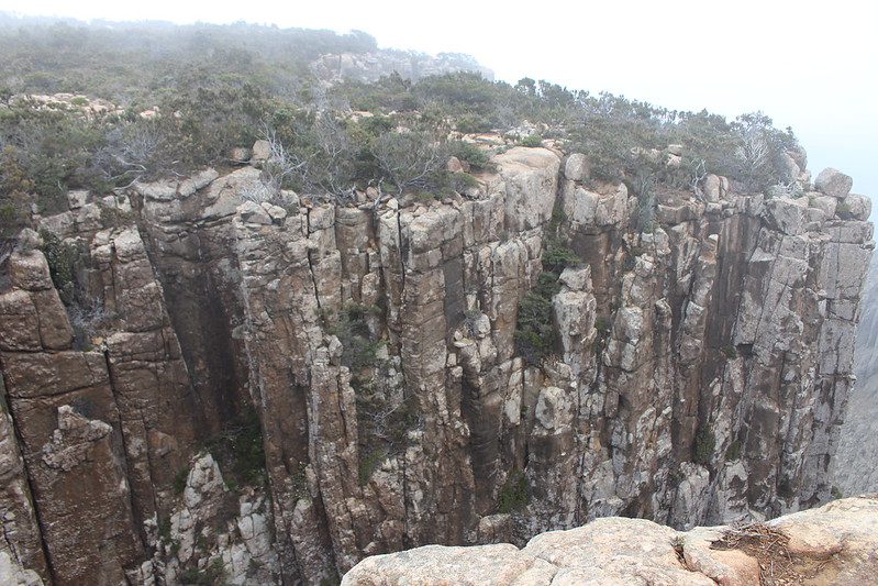
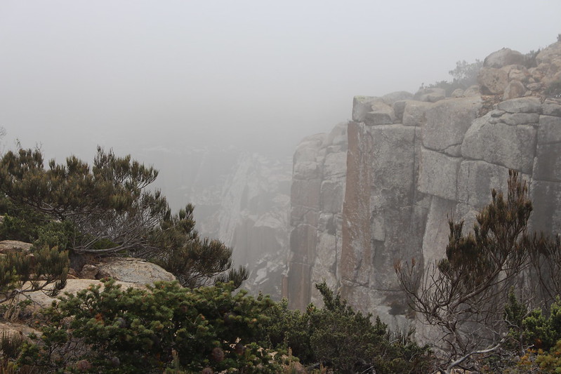
The walk would take on a different hue as grasslands gave way to the dolerite cliffs and ocean trail before us. Luckily it is a ‘there and back again’ track today so we were able to leave our big backs at Munro Camp and just needed a small daypack.
There
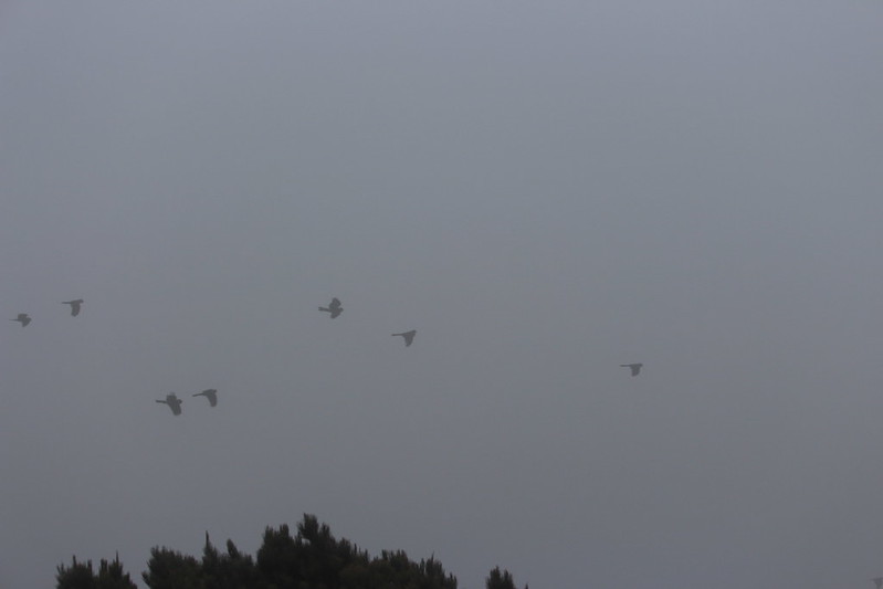
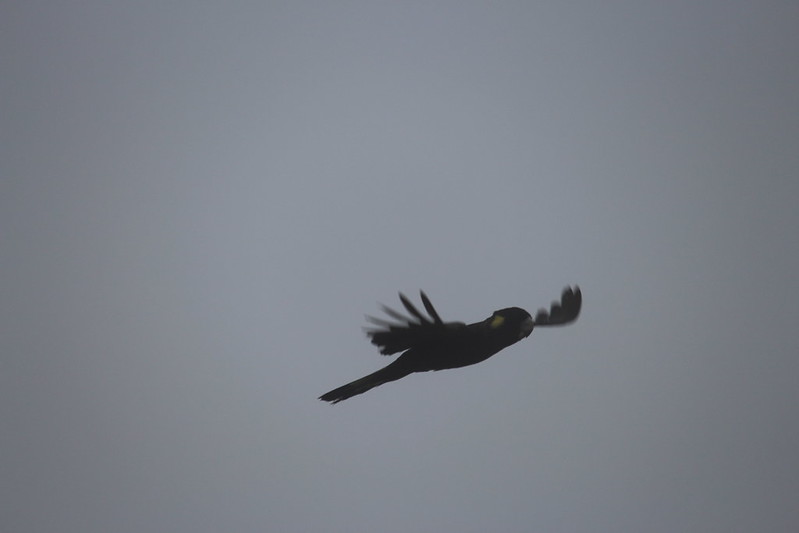
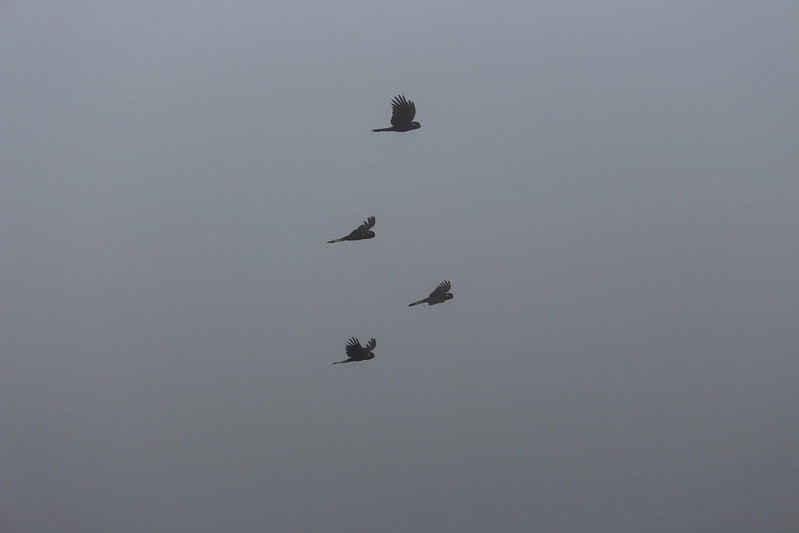
The early morning portion was quite atmospheric as we ventured through Hurricane Heath and down through the Oasis. It was very misty and was really quiet until we encountered a flock of yellow-tailed black cockatoos – screeching as they swooped past us.
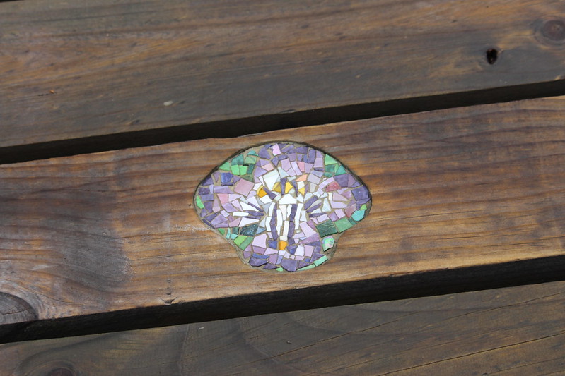
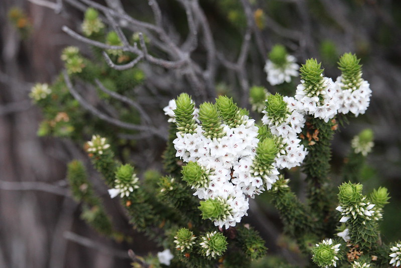
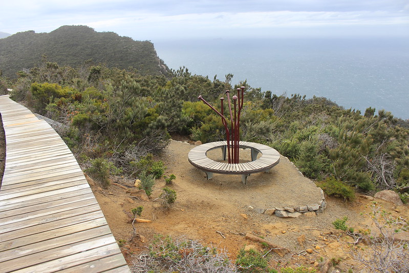
As we watched the flock fly by or eyes were then drawn to a seat with a large mosaic of an eye – Eye See Bright – tells the story about a healthy population of tiny eyebrights (Euphrasia semipicta) that used to be here. These little purple flowered plants are now gone with most that remain confined to just a few cliff faces. A lack of regular burning allowed other species to outgrow them and consume the food and sunlight needed.

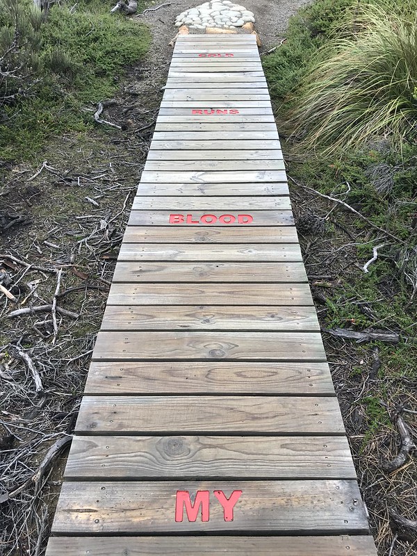
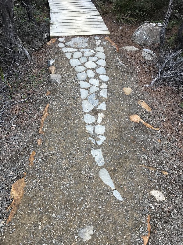
My Blood Runs Cold
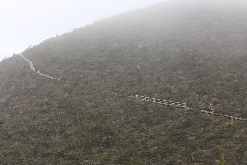
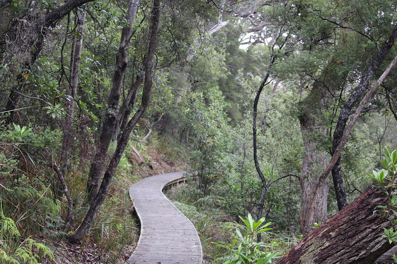
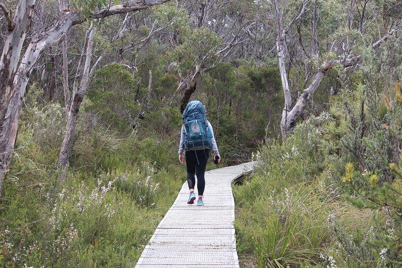
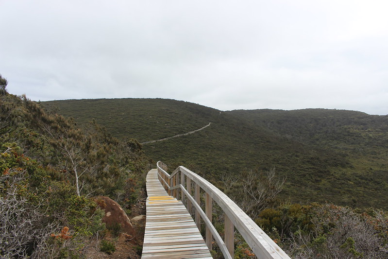
For almost 3km on our trek we swapped dirt tracks and rocks for a boardwalk that snaked though Desolation Gully. Rather fitting as this boardwalk has the head and tail of a snake. It is also a ‘story seat’ – albeit quite a large one, that talks of Tasmania’s snake population that was once thriving but thanks to Lady Jane Franklin’s bounty of 1 shilling a head was reduced significantly in the mid 1800s.
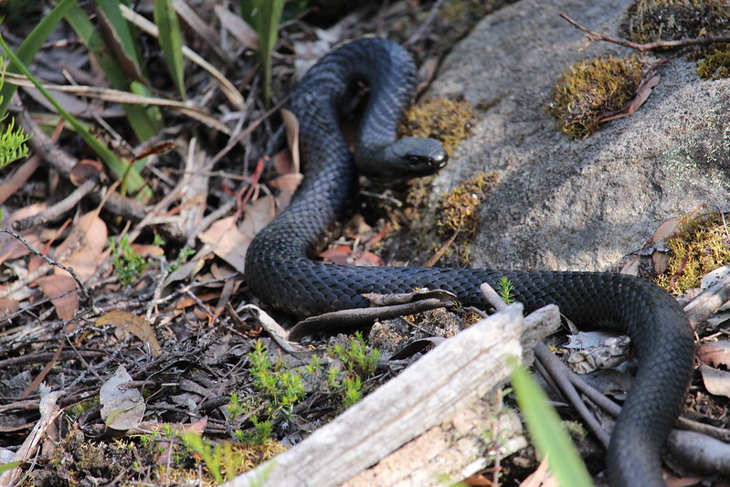
Today three species remain – the jet black Tiger snake (we encountered one up in Lake St Clair) – one of the most venomous snakes in the world. You also have a pit viper species called the Lowland copperhead and finally the very slender white-lipped snake.
Sounds deadly – but there hasn’t been a snakebite death in Tasmania since the 1960s.


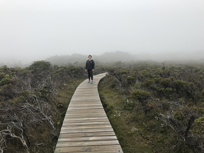
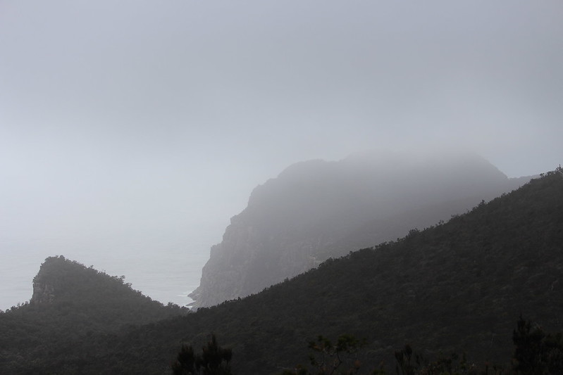
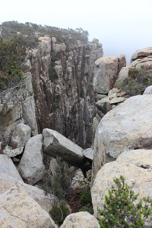
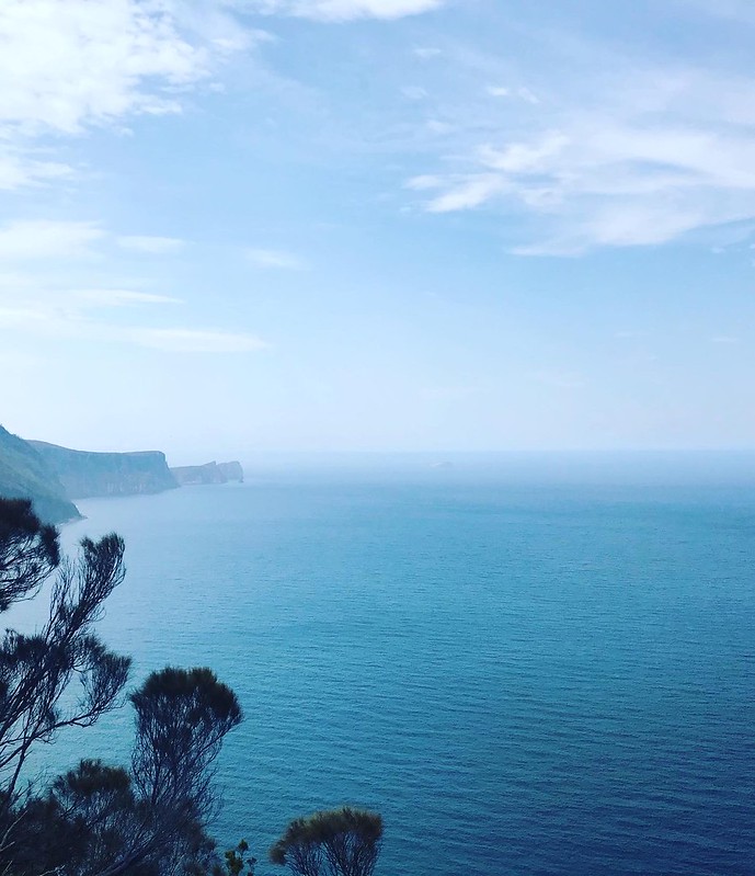
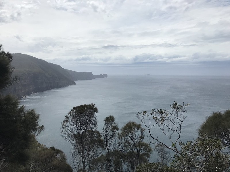
Our morning mist continued to drape across the landscape as we made our way closer to the Blade as we traded the boardwalk for the cliff’s edge and our first proper look down the rest of the peninsula.
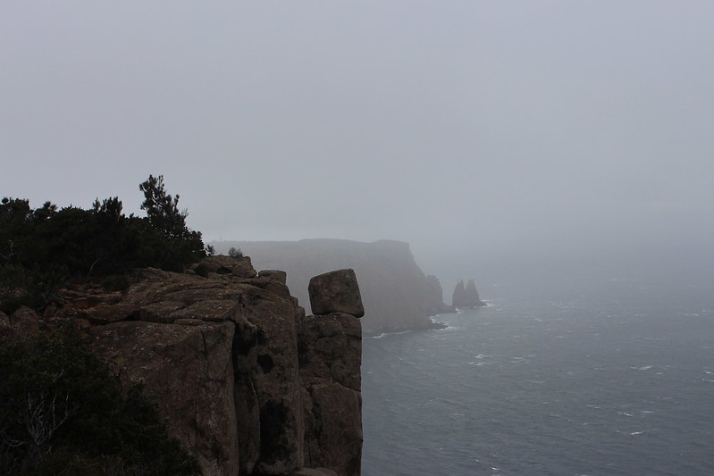
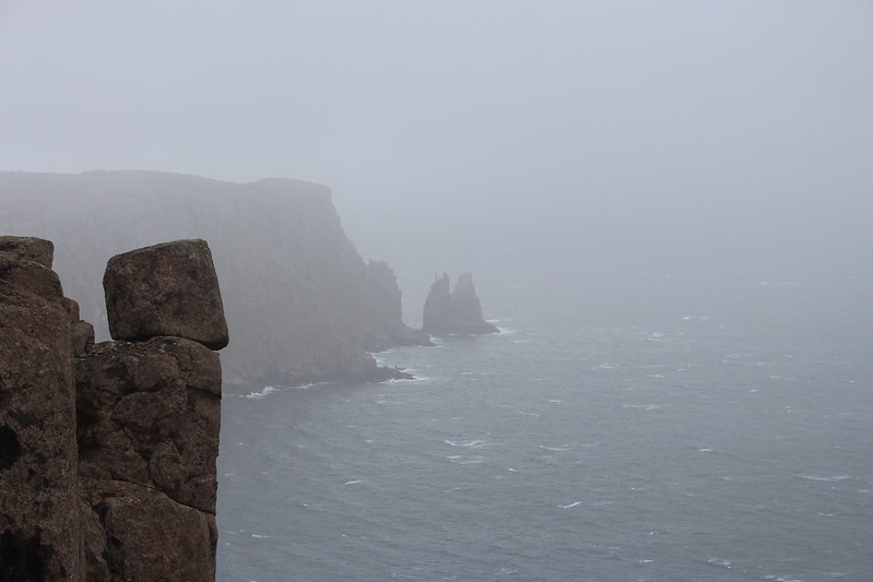
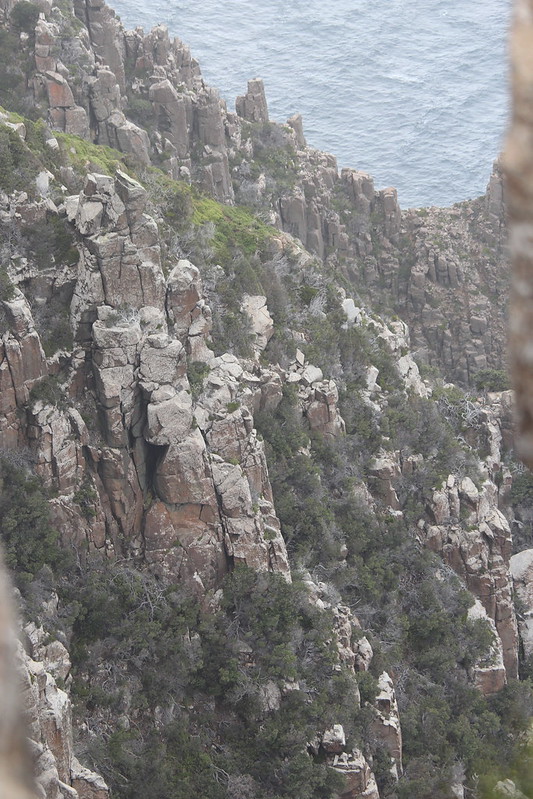
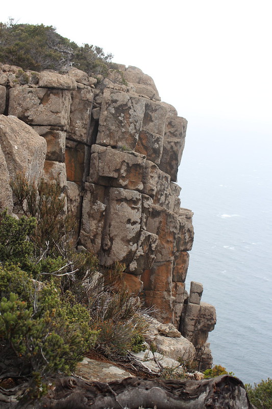

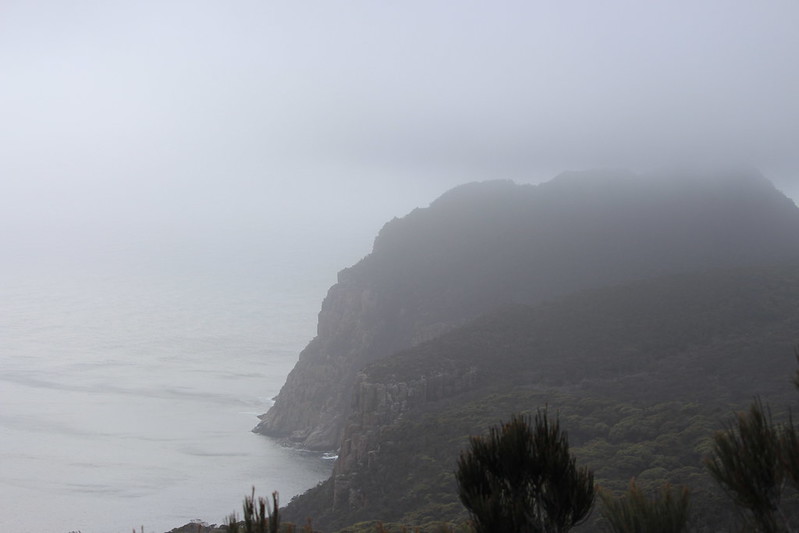
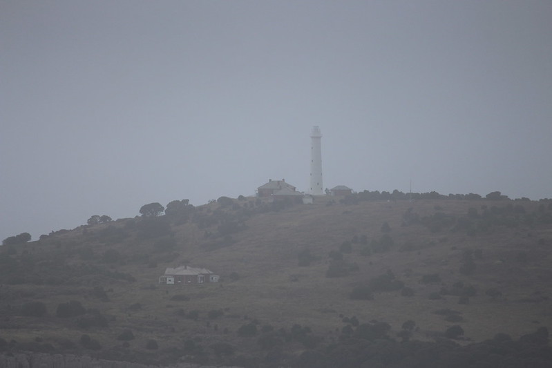
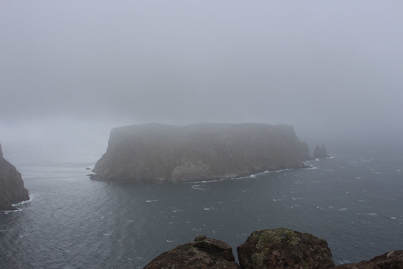
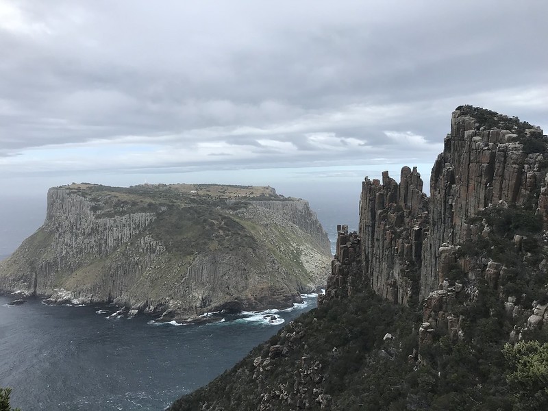
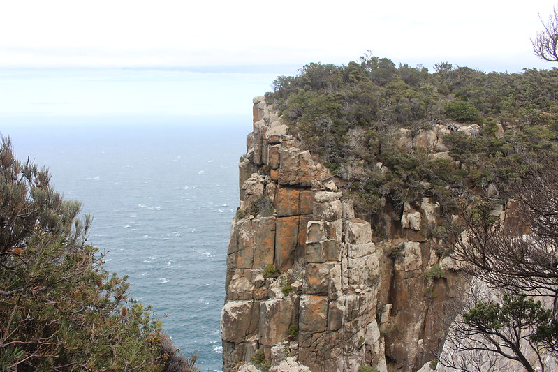
Things started to change as we stopped to get some photos of Tasman Island and it’s lighthouse. This small rocky island off another island at the end of the world is about as remote as it gets. The island is more a rock than land with cliffs towering 300m above sea-level.
The light keepers and their families had to endure a harsh existence. It is well documented that they have to have their teeth removed to reduce the risk of tooth infection in such a remote area and it is that lack of access to medicine that was to have tragic consequences in 1929 when the three year old daughter of the keeper died from pneumonia as harsh weather hampered all attempts to get help.
The lighthouse has been unmanned since 1977 and the only major forms of life their today is a large seal colony.
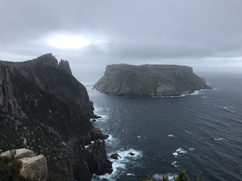
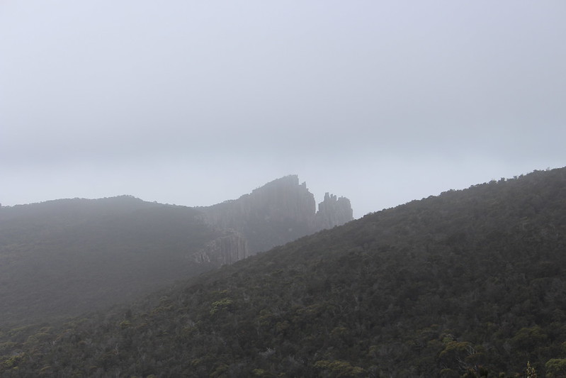
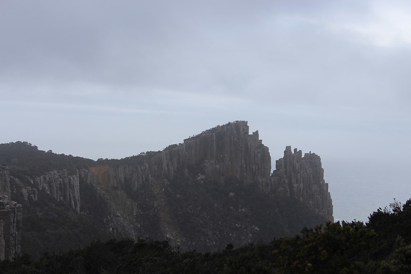
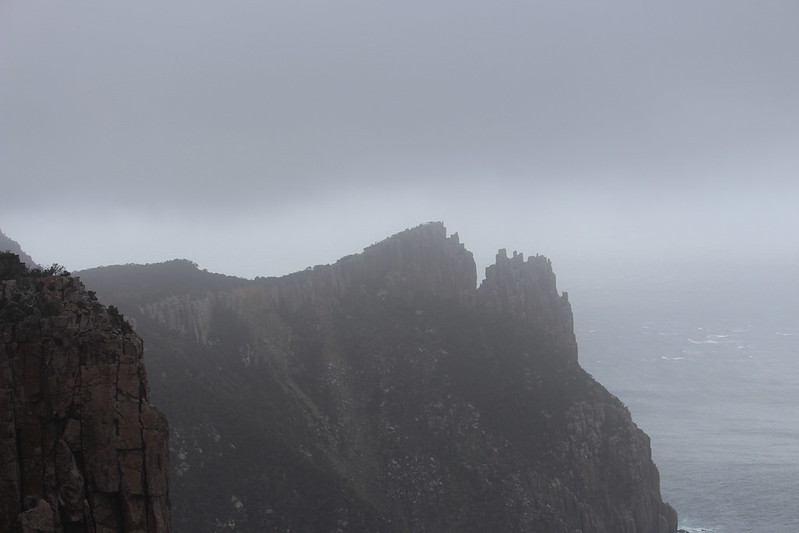
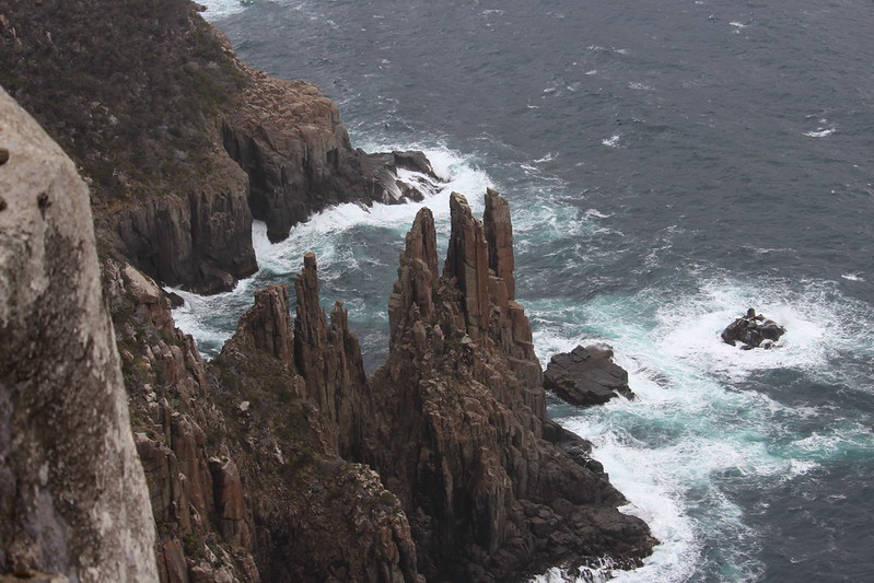
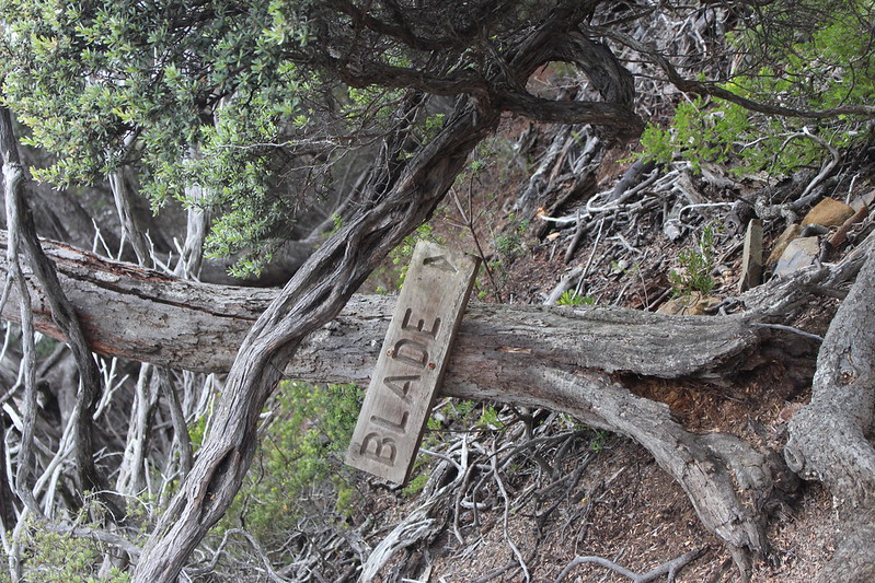
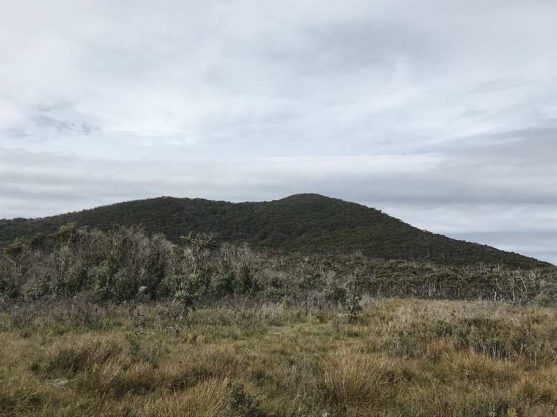
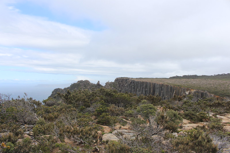
In the previous photos you will have not failed to notice a triangular rock formation that looks like a spire that has fallen on its side.Or more accurately, it looks like the tip of a sword. This is The Blade, a dolerite formation that you can climb to give you great views over Tasman Island as it stands at 262m above sea level.

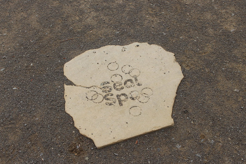
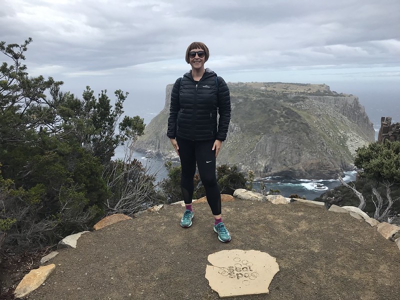
With a lot of walking under our belt we stopped at the next Story Seat to have some snacks and water. Seal Spa. Over 100 metres below the cliff you can hear the seals yaking away in between mouthfuls of kelp.
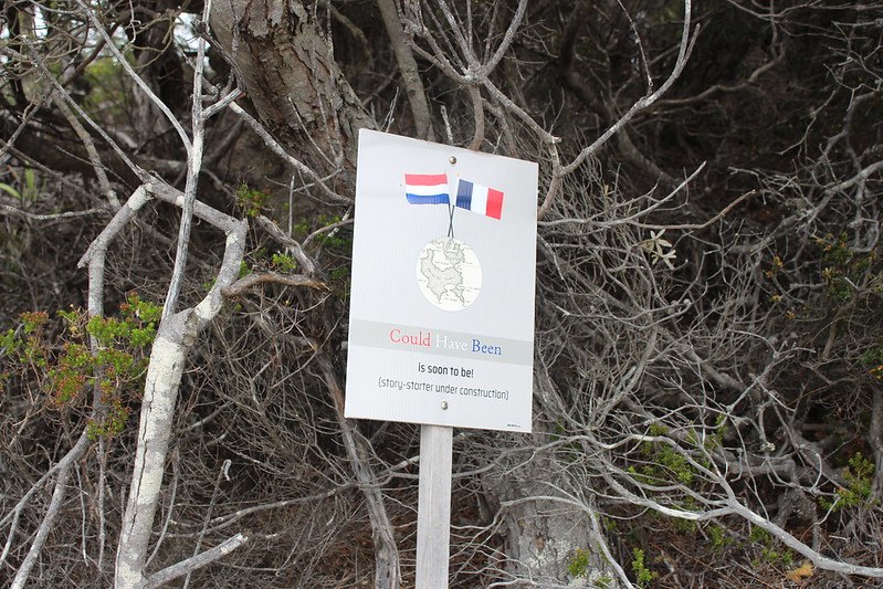
Nearby was another called ‘Could Have Been’ which captures the ownership transitions of this part of the world and the twists of fate that could have made things different. Up until 1642 the Palawa, Tasmanian Aboriginals lived sustainably and in peace on this island they called Trowunna. Then a Dutch sailor bumped into the west coast. Staying long enough to pop a flag on the shores of North Bay he named the place Anthoonij van Diemenslandt before heading across the Tasman Sea to New Zealand. The Dutch quickly lost interest but that explorer’s name would live on in the present day name of the island and surrounding sea. – Able Tasman.
A century later saw a series of British explorations survey and settle all over the East coast of the mainland and 10 years after the settlement of Sydney in 1798 a pair of explorers – George Bass and Matthew Flinders became the first Europeans to circumnavigate the island and establish it was one. But the British at this time were not unimpeded . The French were also on the lookout for new colonies and trade routes and Napoleon had tasked them with observing and researching geography and natural history.
On hearing that there was another rooster in the henhouse of Australasia – Governor King of Sydney sent a ship full of convicts, settlers and soldiers to claim ownership of Van Diemen’s Land, setting up shop in Hobart Town thus giving birth to a convict heritage and one of the most shameful periods of colonialism conflict with the locals.
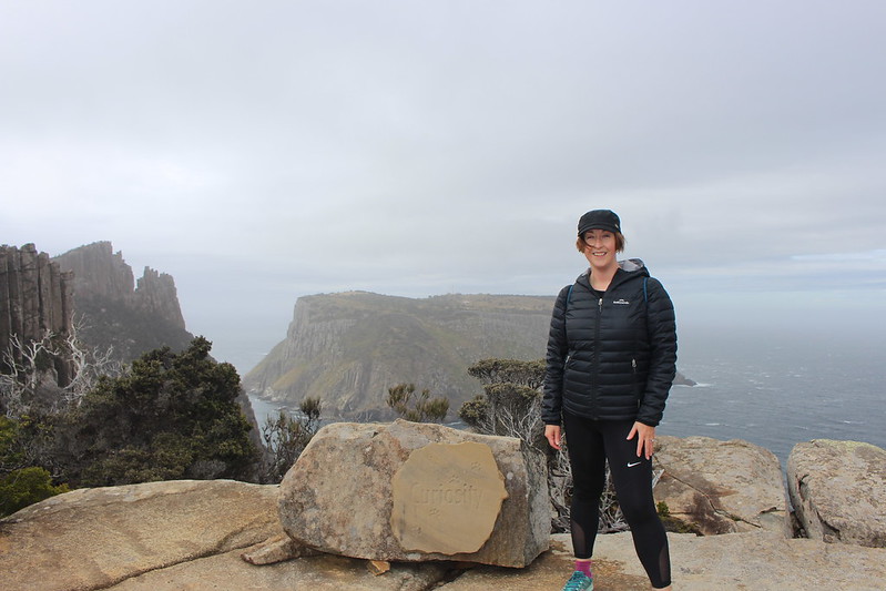
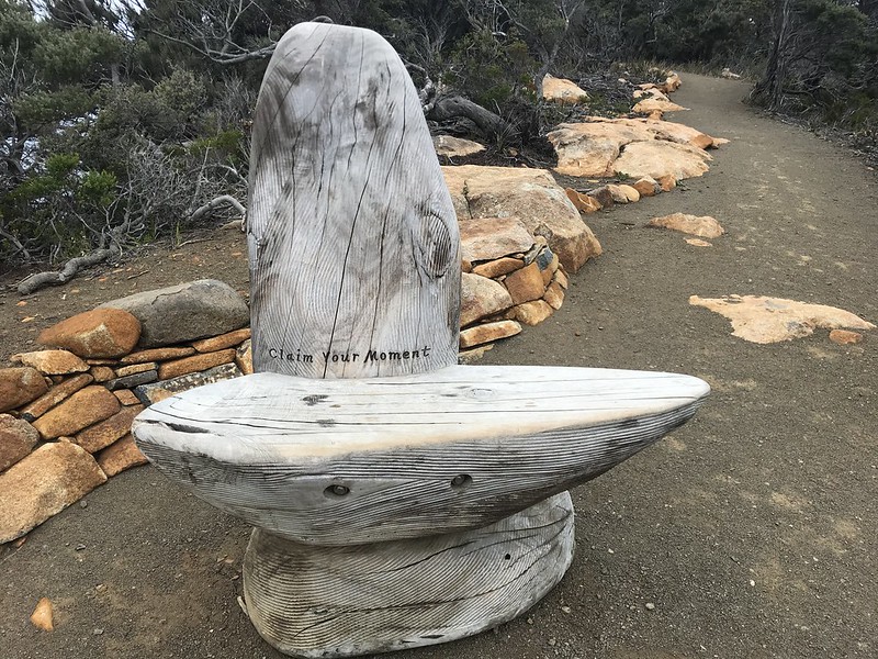
The final Storyseat on the walk was right at the tip of the cape. Claim your moment! It recants the tale of the original bushwalkers who took numerous attempts and battled some serious weather to final reach the end of the road on this cape.
Back Again
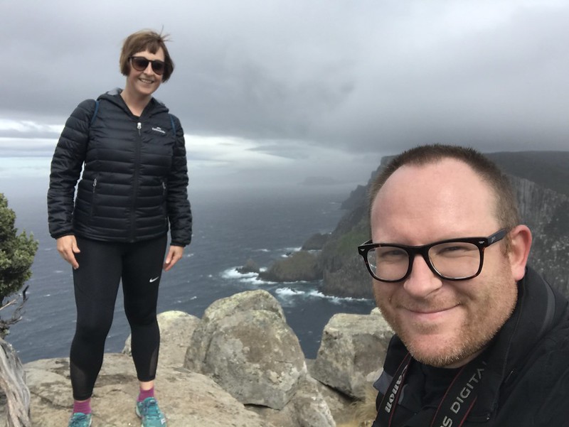
Having reached Cathedral Bluff we turned back. It was mostly uphill back to the camp so there was a lot of climbing and walking to go. Despite the challenge the weather had totally cleared and we got to enjoy a different perspective of the road we had travelled.
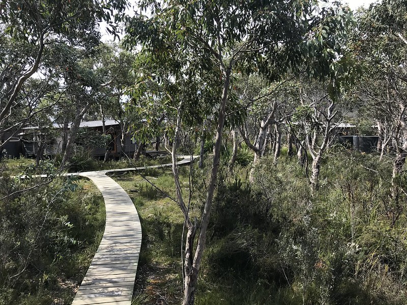
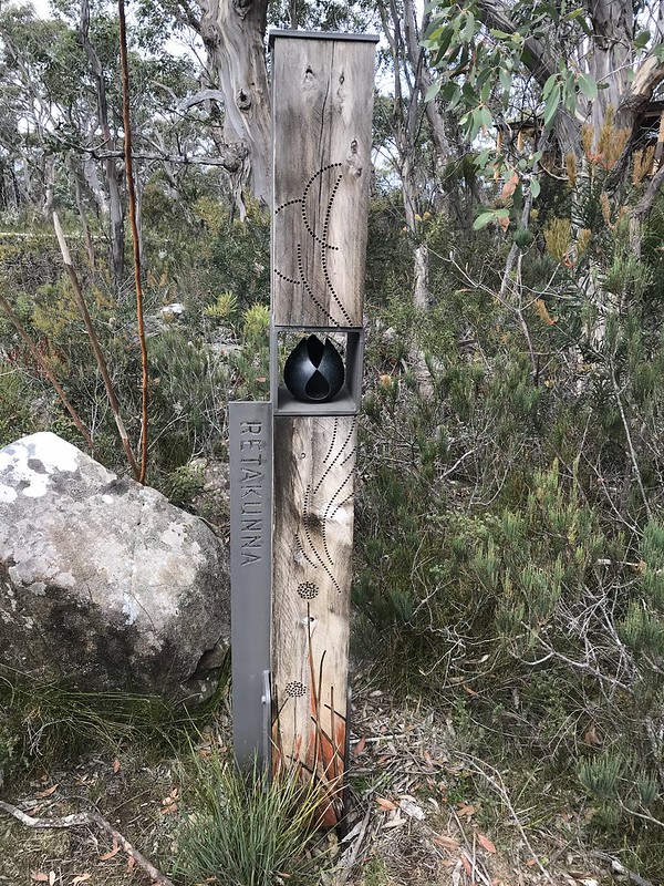
Back at the camp we had lunch and took a shower before getting the big backpacks ready for our next camp – Retakunna, which was thankfully only 3km away just beyond Calculation Hill.

One day and one cape to go tomorrow.

[…] can read about Day 1 , Day 2 and Day 3 using these […]
LikeLike