January 2020
We awoke to our first full day of the Three Capes Track with a mission. Get to the second hut as quickly as possible. It was bushfire season and the fire warnings were high this day. The next boat load of walkers would not be able to join the walk and we had to get to the safety of the next hut zone in case things turned bad later on that day.
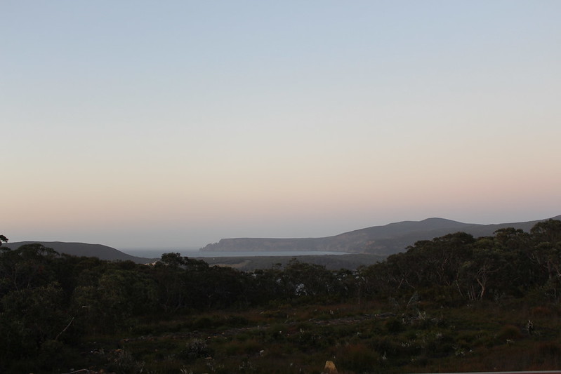
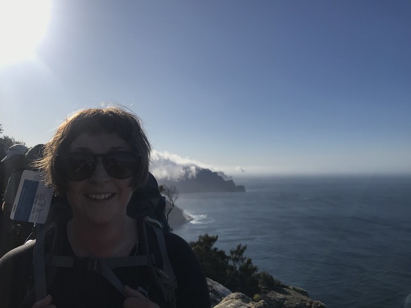
But first we were treated to a wonderful sunrise across Crescent Bay to Cape Raoul. Our efforts climbing up to the Surveyor’s Hut on Day 1 immediately rewarded.

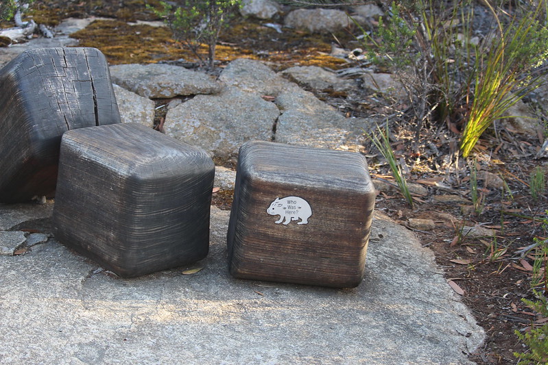
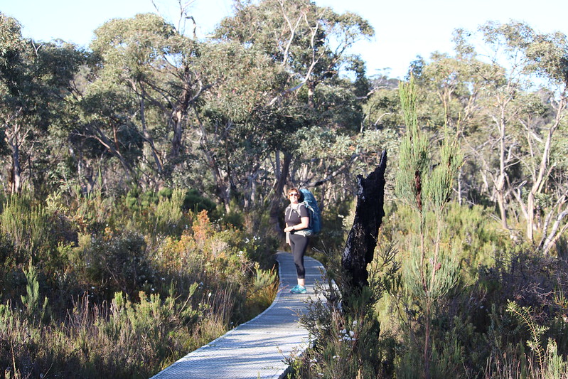
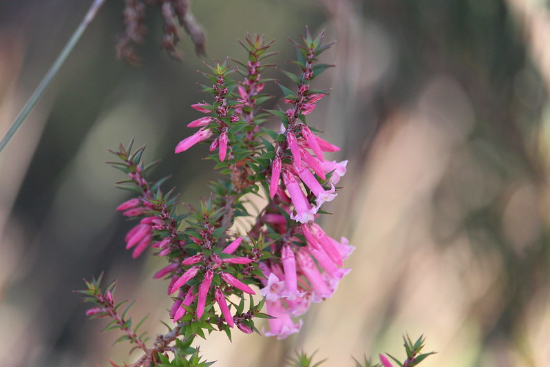
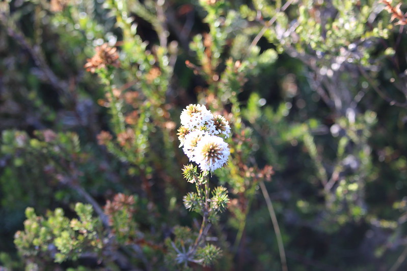
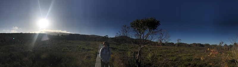
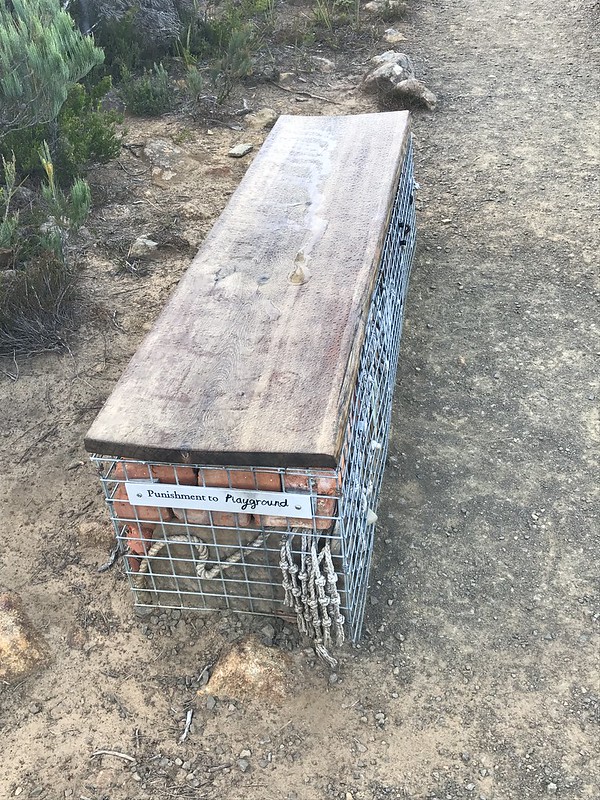
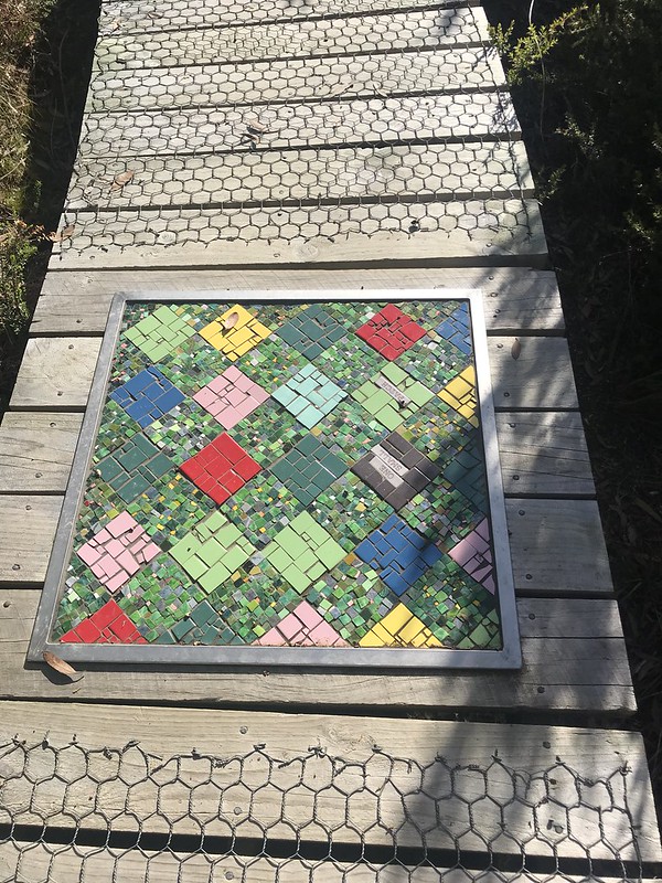
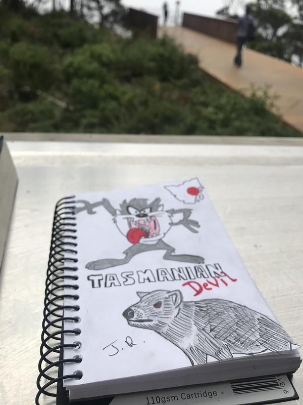
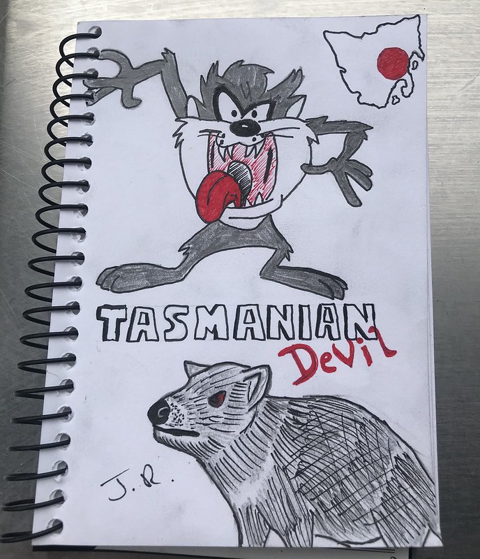
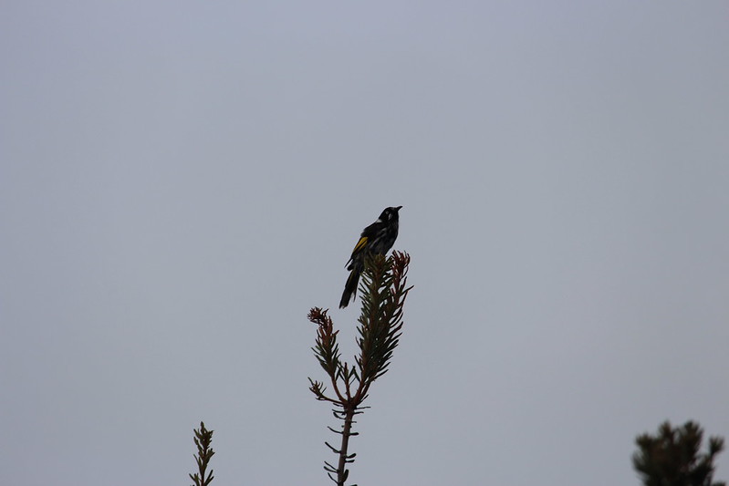
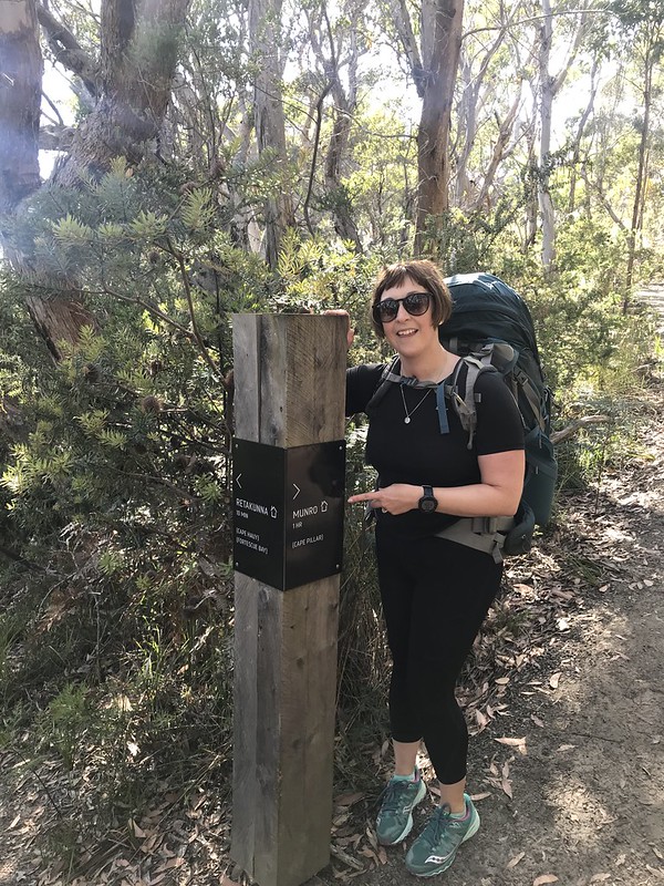
Our walk today would be 11km long including two peak climbs before finishing up at the second hut – Munro. We walked through the button grass plains before making the ascent up the first climb of the day – Arthur’s Peak (312m elevation). On the climb we encountered a collection of cubes modelled after wombat poos. This was wombat country – dry open eucalypt woodland with low shrubs and grasses. There are up to 23 land mammal species living on the track including critically endangered Tasmanian Devils.


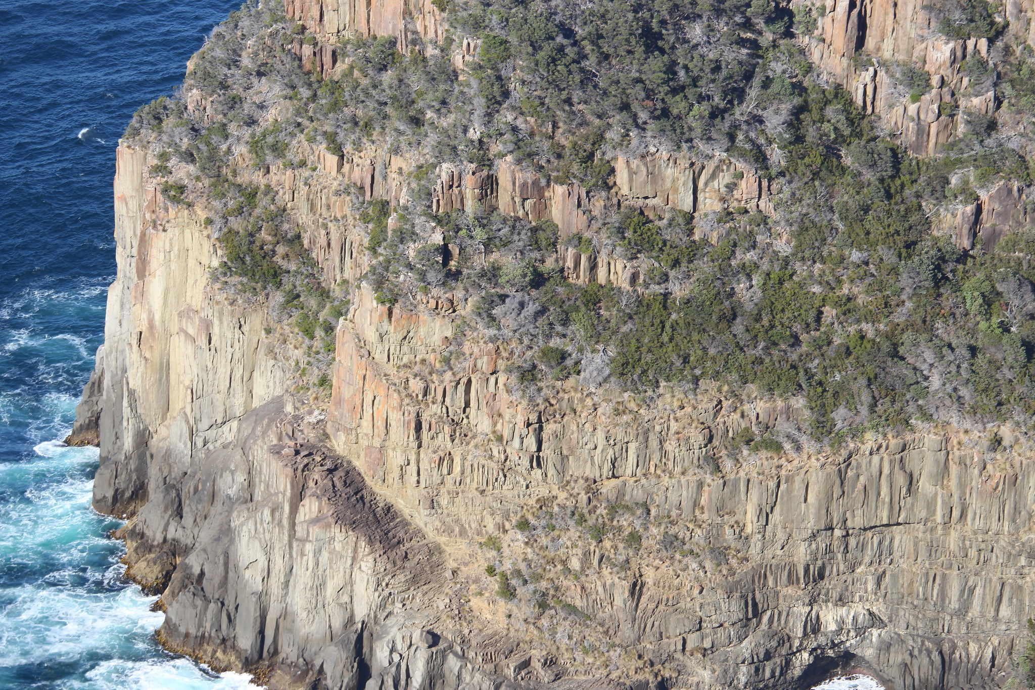
With Crescent Mountain to the north we found ourselves walking on magnificent cliff face. The rocks, called dolerite are 185 million years old hence the next story seat was called Jurassic Crack.
An apt name as these rocks were formed from magma pushing up through fissures in the earth’s upper mantle.
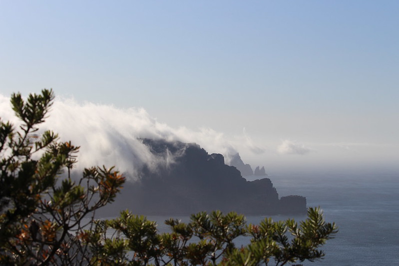
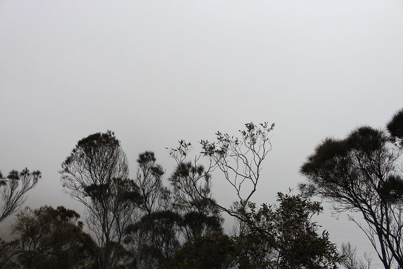
From here we could see the mist begin to settle further south. We would find out later that this would cause havoc with the group ahead of us.


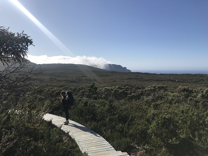

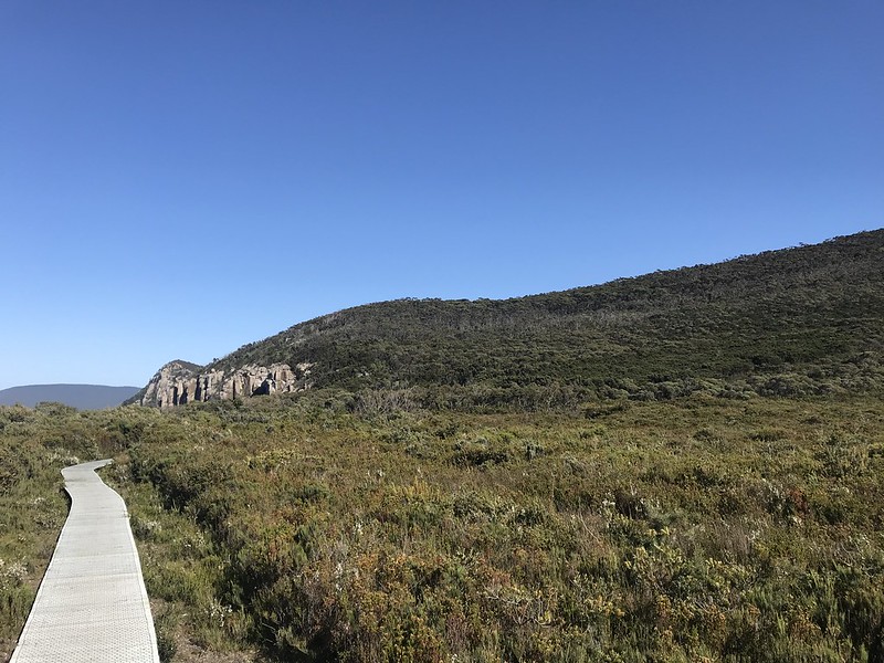
After the morning climbs the trail flattened out as we traversed Ellarwey Valley, a coastal heath before we gently climbed up to Tornado Ridge. We stopped for a break at another story seat called Love in the Woods – which tells the tale of how various creatures (from brown falcons to microbats) raise families on the cape.
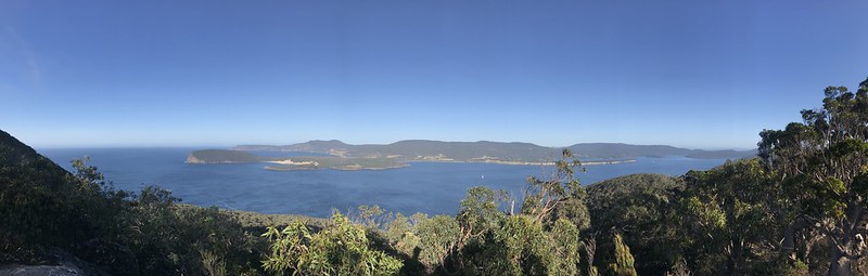
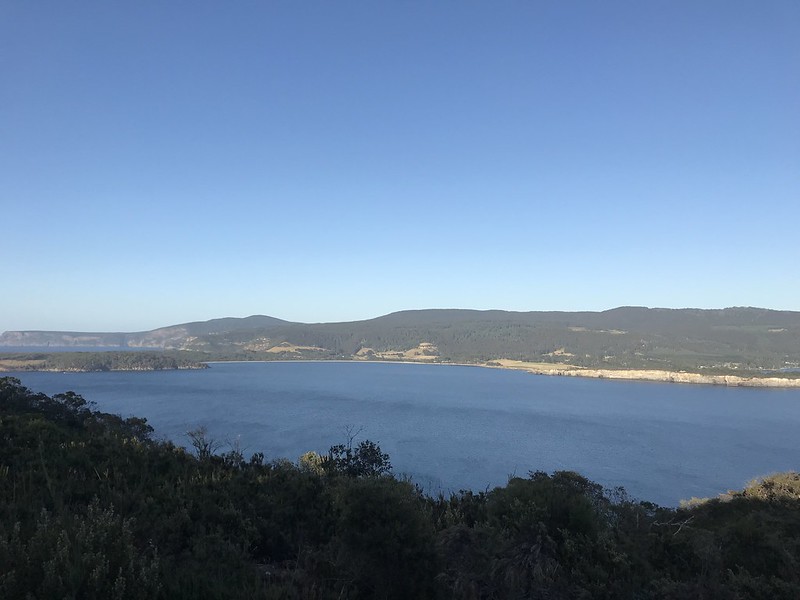
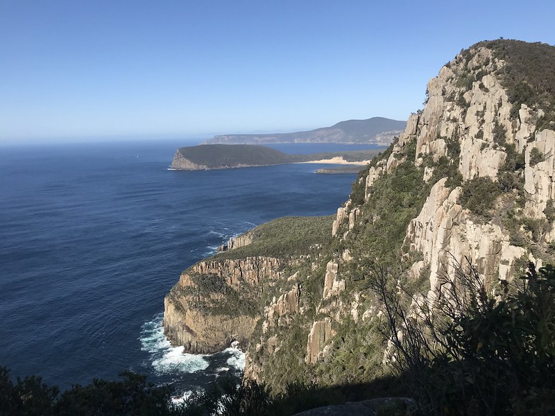
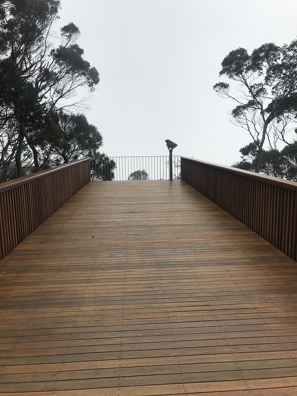
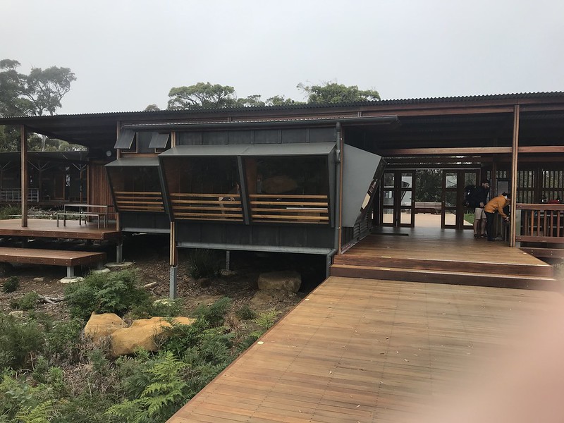
We only had a little bit further to go until we arrived at the Munro Hut. Where the Surveyors hut was on a hillside, Munro was perched right on the cliff complete with a viewing platform that gave us amazing views across the Munro Bight to Cape Hauy. We couldn’t see Cape Pillar as we were already on it.


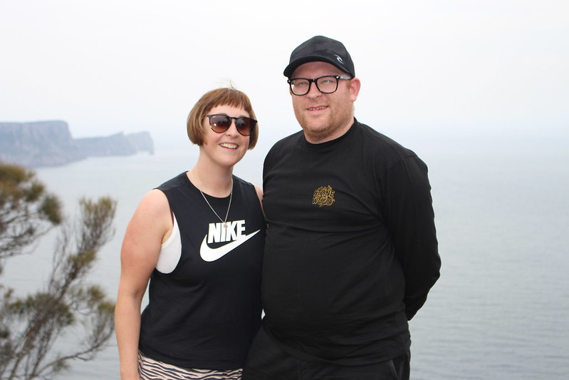

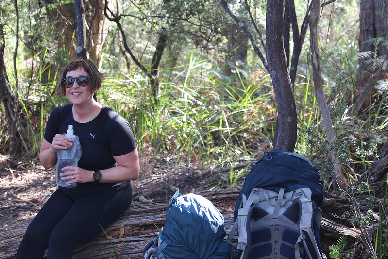
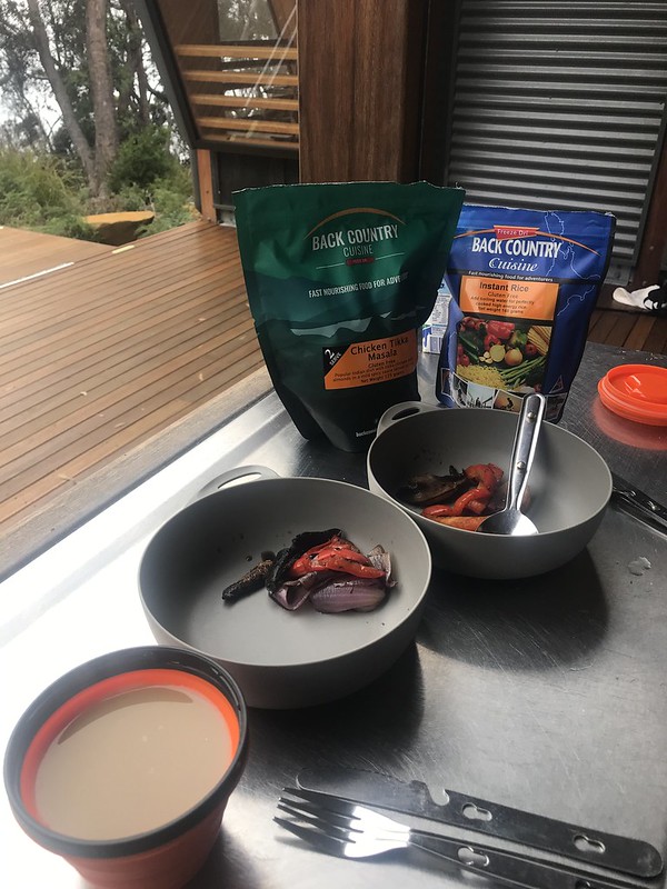
It was only around midday so we had all day to relax at the hut. Read our books, do some drawings and get to know our fellow hikers. We also had lunch and dinner to cook. Freeze Dry Curries – yummy!
Our Ranger informed us that we would have some mist in the morning but it should clear up by the time we walked the 10km or so down to the bottom of Cape Pillar. We were also told we could leave our bags at the hut as we would be passing it on our way back. That was a stroke of luck.


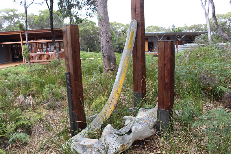


The Munro hut had a model of a cargo ship – The SS Nord. It was shipwrecked in 1915 and is now lying 42m underwater in the Munro Bight. It sunk after striking a sunken rock pinnacle and is reasonably intact today. Experienced divers can book trips out to it.
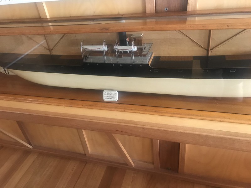
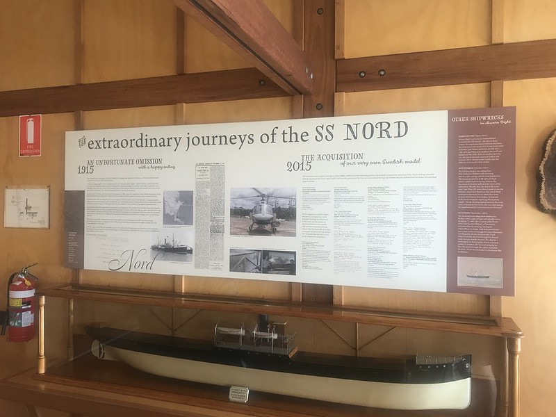
The ship was launched in 1900 from the Greenock and Grangemouth dockyard company in Scotland. Originally called the SS Maria Gorianova. It was sold to Swedish companies and was renamed to the Nord sometime around 1905. She spent most of her time transporting goods between Singapore and Sydney/Melbourne carrying bulk petroleum such as benzine.
A fascinating fact is that the rock, called Needle Rock was not on any chart despite it claiming the SS Tasman in 1883.
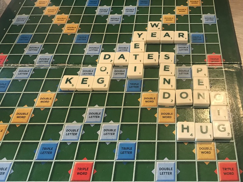
All that was left was to end the day with a good old fashioned game of scrabble

💜
LikeLike
Beautiful coastal views on that hike! Maggie
LikeLiked by 1 person
Beautiful scenery 😊.
LikeLiked by 1 person
It really was something special
LikeLiked by 1 person
Wow what views!
LikeLiked by 1 person
YEp – and they get even better on Day 3!
LikeLike
Isn’t it just the best? Loved every day of this hike. Mel
LikeLike
[…] can read about Day 1 and Day 2 using these […]
LikeLike
[…] can read about Day 1 , Day 2 and Day 3 using these […]
LikeLike