January 2023
Hamilton’s Down Under
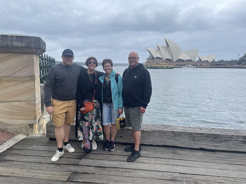
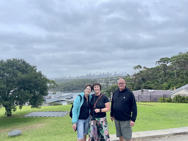
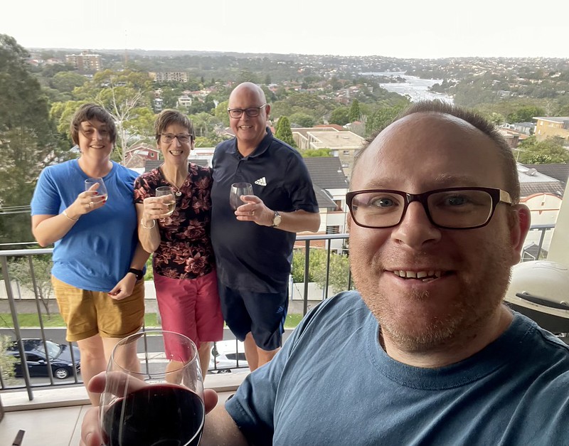
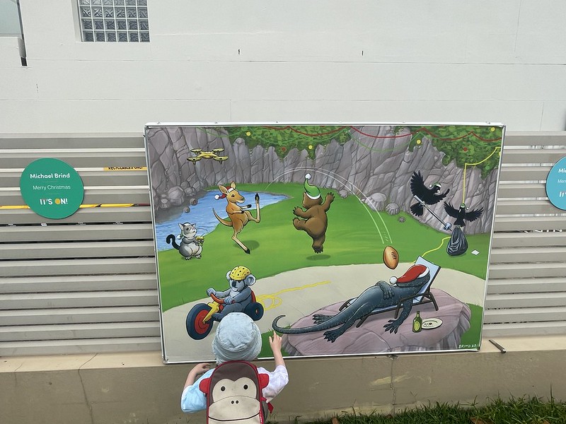
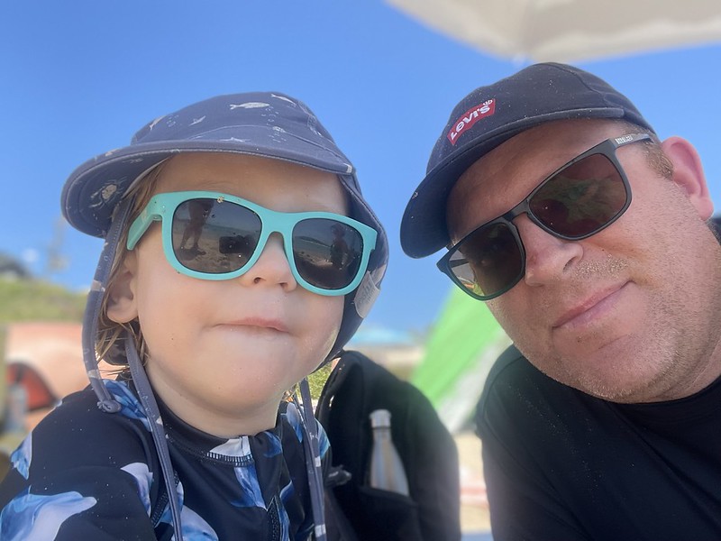
Iain and Bernadette had made it to Australia to visit us again. This would be their first visit to see their grandson in his natural habitat.
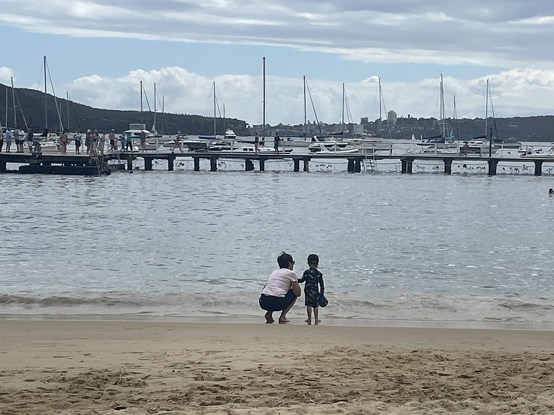
After a couple of days of exploring Sydney and trips to the beach we packed up the car and headed north for a week.
Fingal Bay
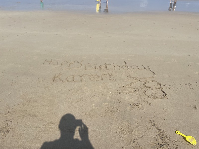
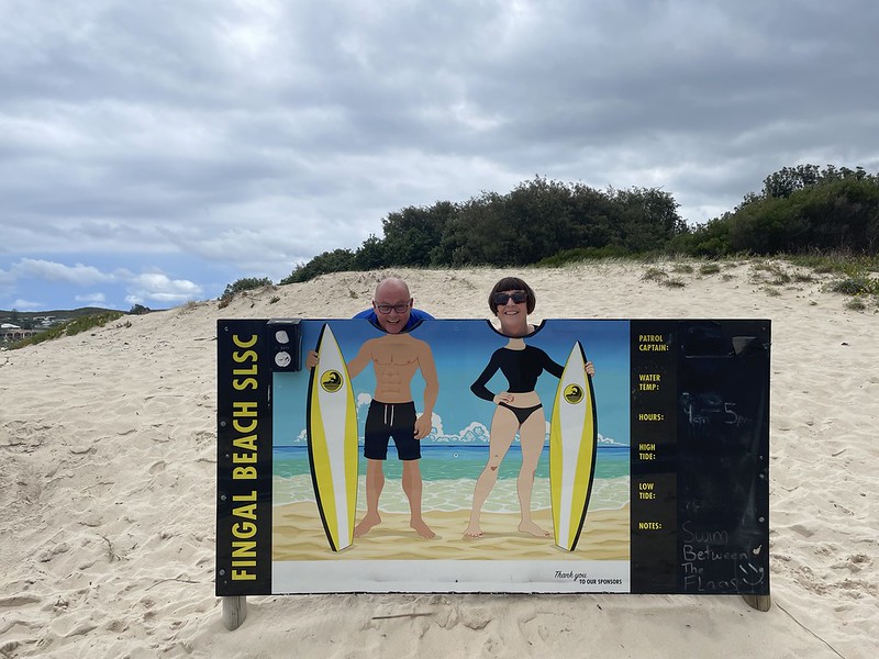
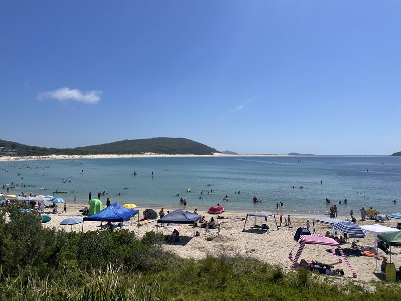
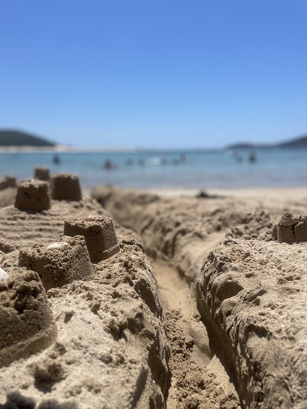
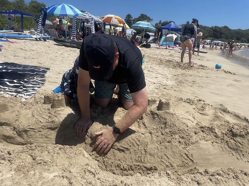
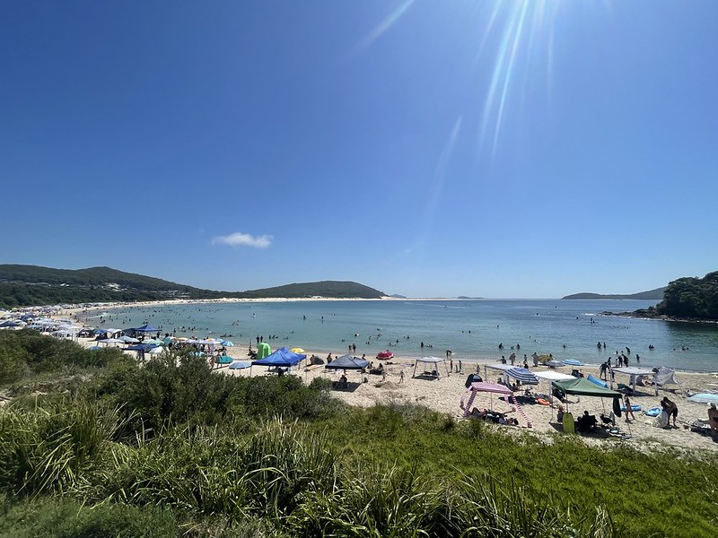
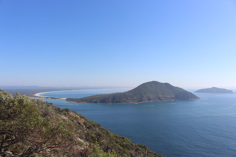
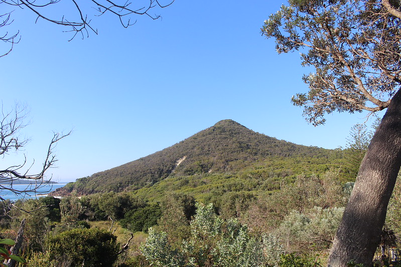
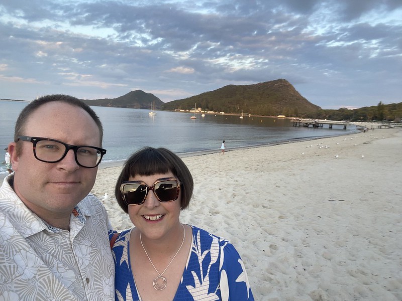
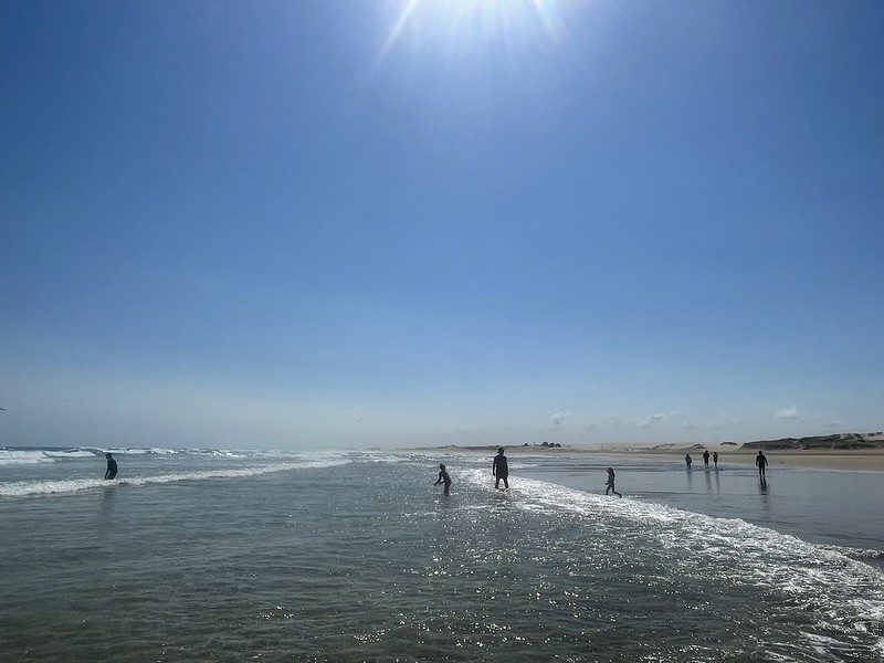
We spent over a week staying at Nelson Bay Head and this allowed us to explore the entire region of Port Stephens. One of our favourite beaches was at Fingal Bay where we spent the morning of Karen’s birthday. It’s a very nice beach located within Tomaree National Park – which includes Tomaree Head and Mountain. ‘Port Stephens’ is the name given to the southeasternmost part of the headland and later came to encompass the wider surroundings and the next bay to the north. Stephens is a reference to Sir Philip Stephens who was Secretary to the Admiralty and was friends with Captain Cook who passed here on 11 May 1770.
The beach is featured in the 2006 Tourism Australia Ad – So where the bloody hell are ya?
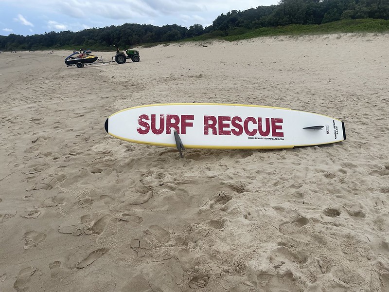

While we had a peaceful swim on the 23rd January – three days later on Australia Day the same beach was the site of a tent city. And tents were needed as we were blasted by the heat.
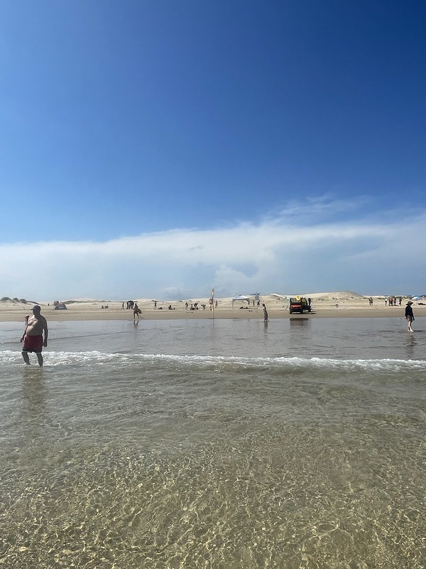
Shoal Bay
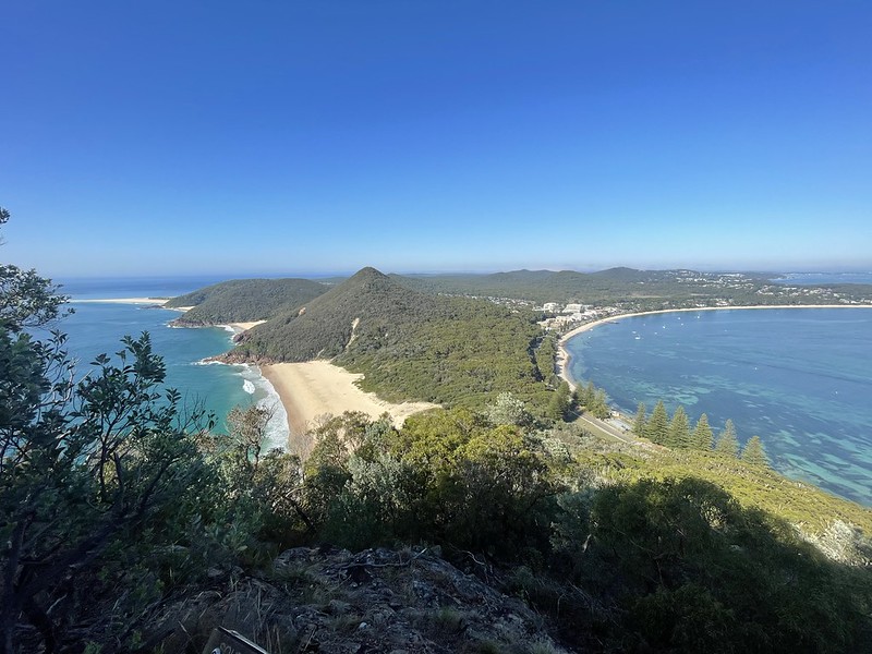
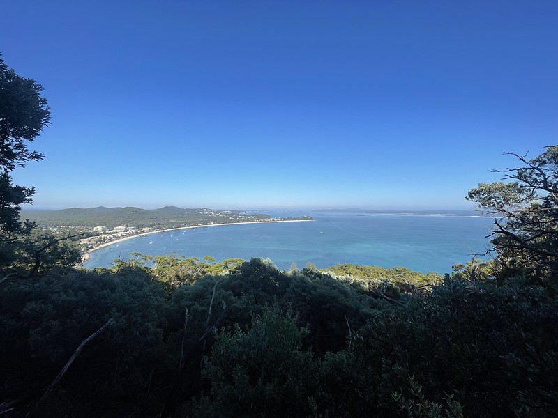
The next section to the North of Fingal Bay is called Shoal Bay. Located on the southern shore of Port Stephens Bay and to the west of Tomaree Head. It’s a lively spot with a number of cafes, the best fish and chips takeaway (Aussie Bobs) and the place where all the cool cats hang out – The Shoal Bay Country Club.
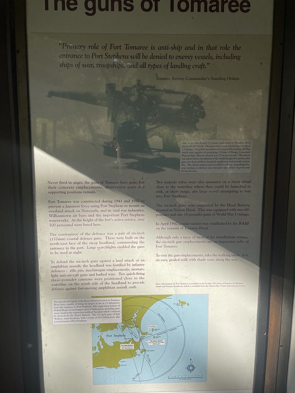
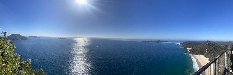
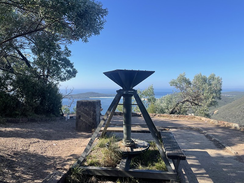
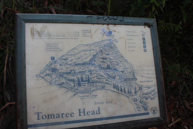
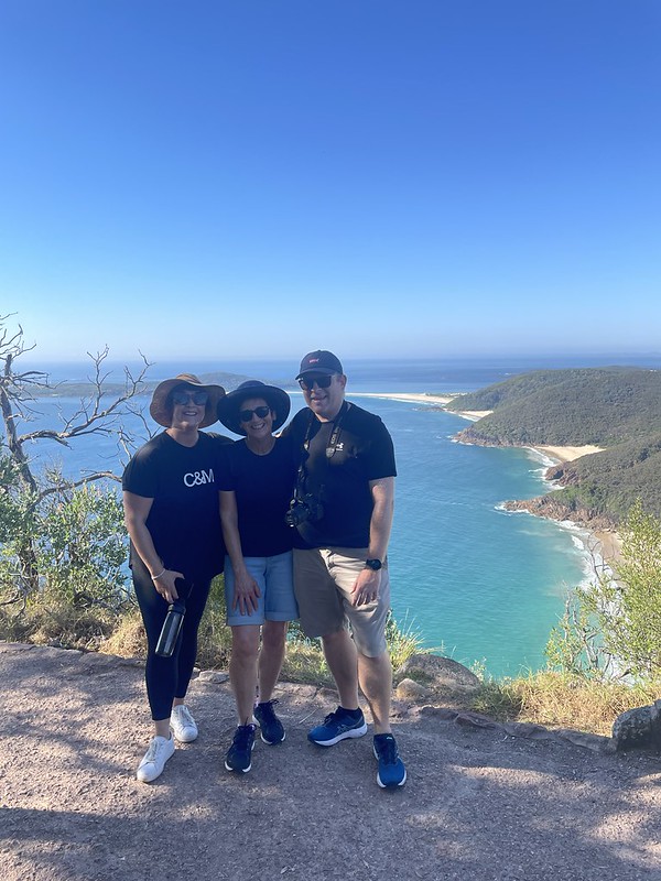
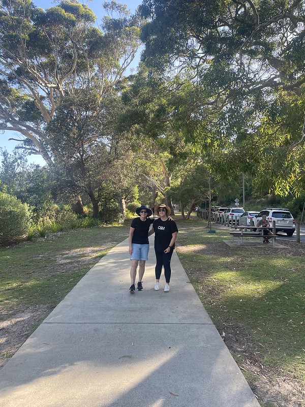
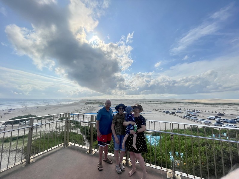
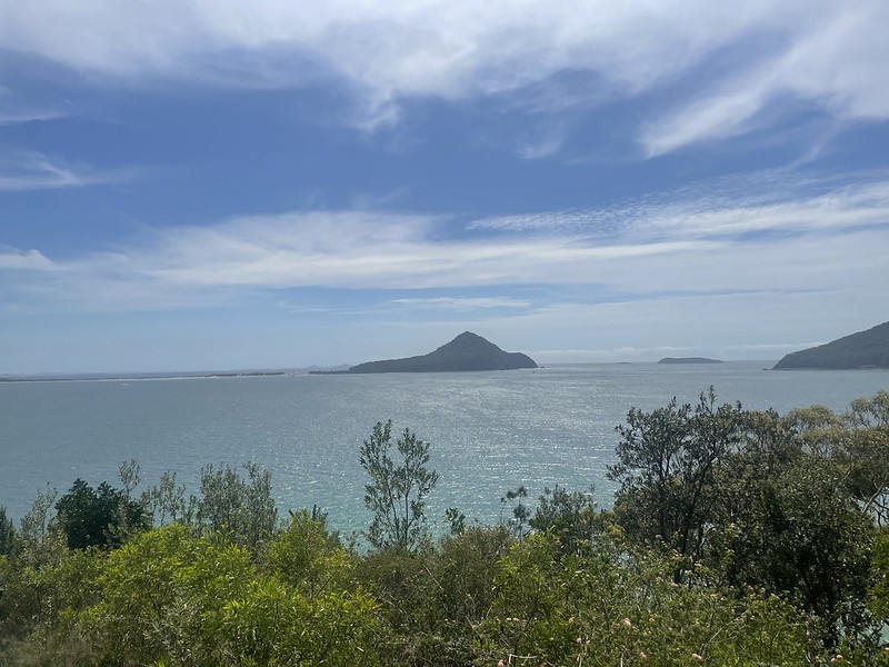
It’s also the location of the Tomaree Head Summit Walk – which we climbed with Cillian attached to us on a previous trip. This time we would be heading out early before the heat boiled over and dragging Bernadette with us. It was a glorious day with clear visibility for miles and great views.
Dotted around the base of the summit are a number of fortifications and WWII gun emplacements .There is also the shell of a radar station at the top. Built in April 1942, this station was setup with the first-of-its-kind Australian radar. It’s mission was to detect all aircraft in the area and report to the No. 2 Fighter Sector HQ in Newcastle so as to protect the Newcastle-Sydney-Port Kembla Industrial region.
It was also able to detect ships and was used to report the location of the Japanese submarine I-21 which shelled Newcastle in June 1942.
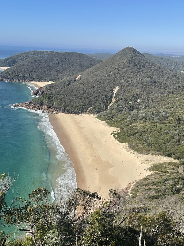
Zenith Beach, just below the summit to the south was also used as an amphibious training centre. 20,000 Australian and US Marines learned key skills they would need for the Pacific theatre here.


Anna Bay
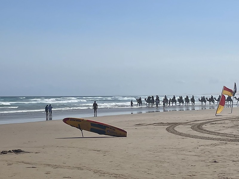
On the south side of the peninsula is an area called Anna Bay. The north-eastern end of a 32km long beach called Stockton Beach is located here at Birubi Point. The remnants of World War II fortifications can be seen here – cement tank traps, fortifications can be seen near the car park and every so often an unexploded bomb is found under the sand as the RAAF used to dump ordnance here on return journeys to the nearby airbase.
Another feature of the beach is the presence of Camels. A nearby Camel Ranch provides daily rides and they passed us by as we spent another fine day at another fine beach.
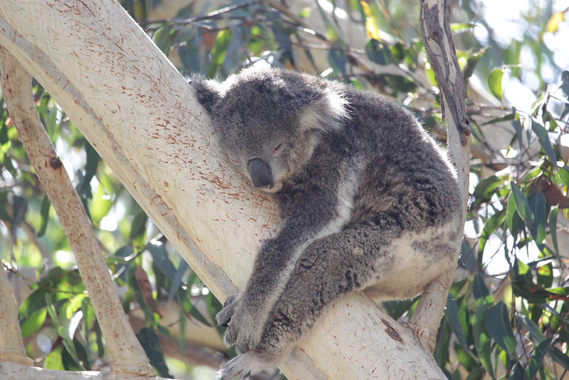
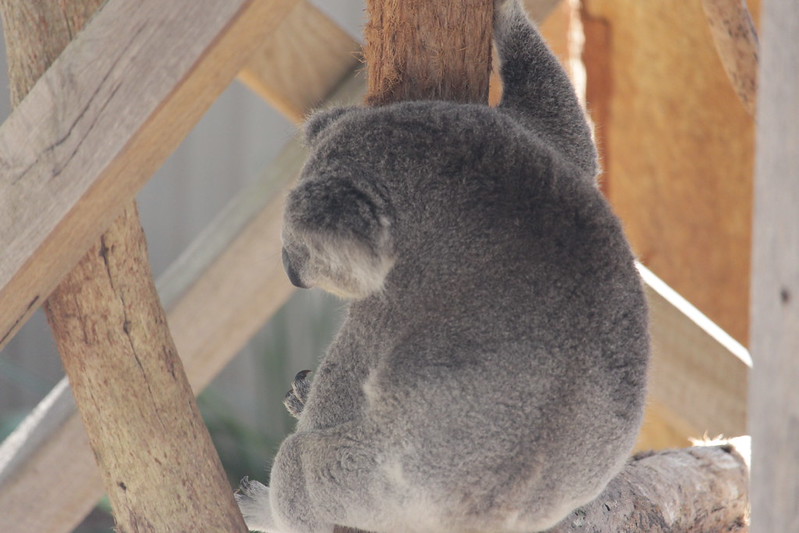
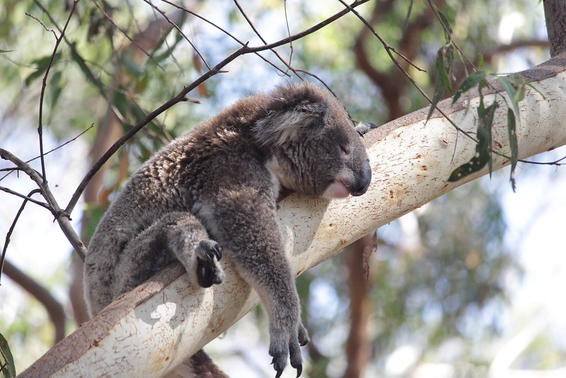
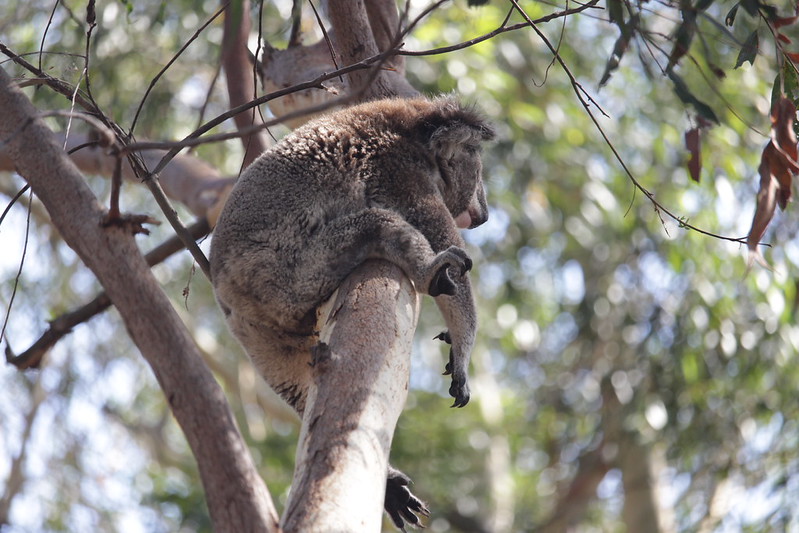
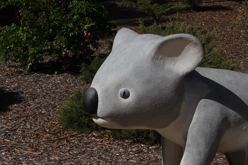
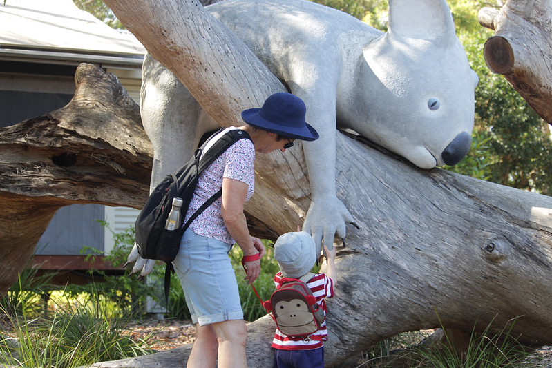
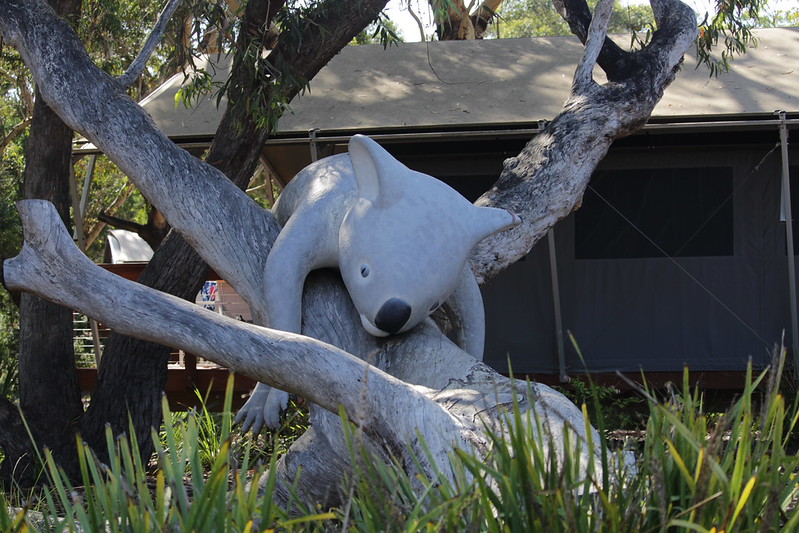
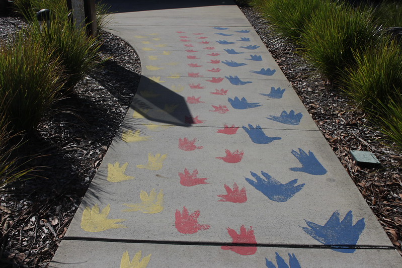
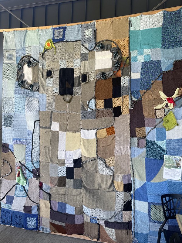
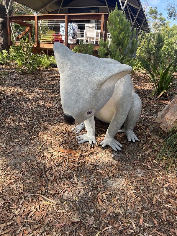
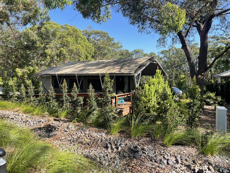
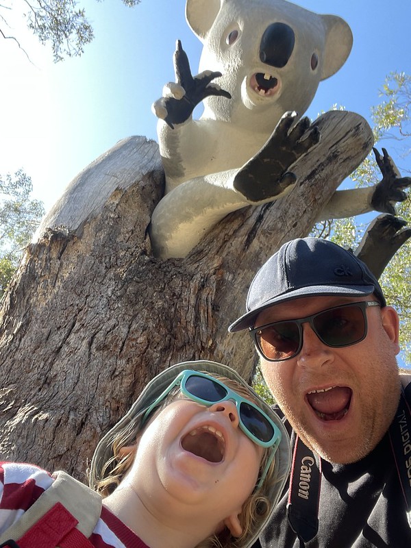
Just up the road from the beach is the Port Stephen’s Koala Sanctuary. Opened in September 2020 this facility acts as a rehabilitation and conservation sanctuary for Koalas. Featuring a hospital, 225 metre sky walk and viewing platform and even accommodation if you want to stay the night.


Lighthouse Family
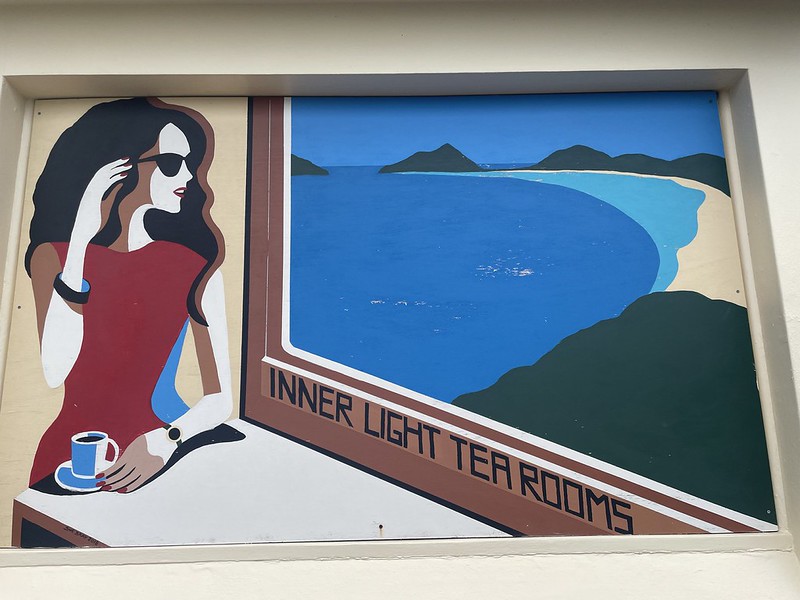
On our last morning we went for breakfast in a lighthouse – the Inner Lights Tea Rooms. This heritage listed café sits on hill that overlooks the entire bay, if one can keep their eyes off their amazing scones. What is also rather noticeable is the complete lack of a tower – the lighthouse was rather unique in that the lanterns were located inside a normal house on this hill. Established in 1872 there were four kerosene lamps located in an octagonal lantern room in the cottage. It is called the ‘inner’ lighthouse while it’s sister installation at Fingal Bay is the ‘outer’ lighthouse.
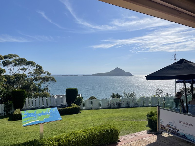
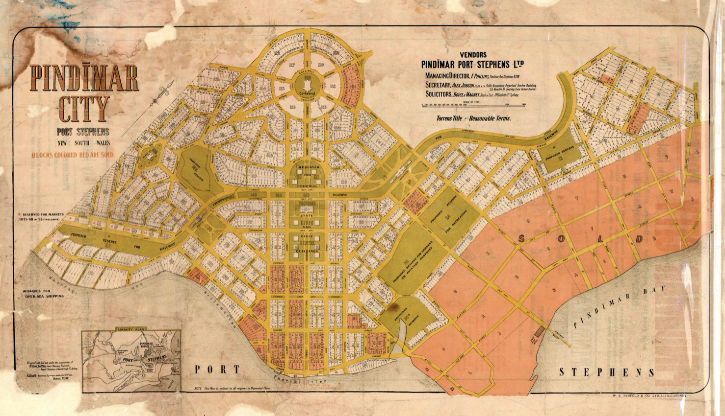
Located next to the café is a museum dedicated to the lighthouse and the surrounding area. On the wall of the exhibition was a series of drawings and plans for the area depicting an alternate reality had it been selected in 1919 as the base of operations for the Far East fleet of the Royal Navy. Plan and initial construction work was carried out for a 1200 hectare submarine and naval base. hospital and fuel depot before the idea was scraped and Singapore was chosen instead. A decision that allowed that trading settlement to undergo huge growth in the 20th century. This plan also was meant to mean that a new city to rival Sydney would spring up on the northern part of the pay – Pindimar City. Alas this did not come to pass and Pindimar is just a small village now.

Thank you for that wonderful page John. I loved reliving that wonderful holiday. Xx
LikeLiked by 1 person
More than welcome! Will have to come up with another great place to take you next year
LikeLike